What the viewing
does not show you.
You are about to buy a property in a country whose public records you cannot read. Homefax runs 17 checks on that exact property, using official Spanish and European public data, and sends you the full report in English. It is not a survey and it does not replace one. It covers what a survey cannot see, which is the ground under the building and everything around it.
Send us the address, or the cadastral reference if you have it. We confirm the exact property by email, then send you a €39 payment link. The report, a PDF in English plus the Spanish original, reaches you within one working day of payment.
Got it.
We will email you shortly to confirm the exact property and send you the payment link. If you do not hear from us within one working day, write to info@homefax.es.
WHAT YOU NEED TO KNOW BEFORE YOU ORDER · HOW IT WORKS · SAMPLE REPORT · TERMS (ES) · PRIVACY (ES)
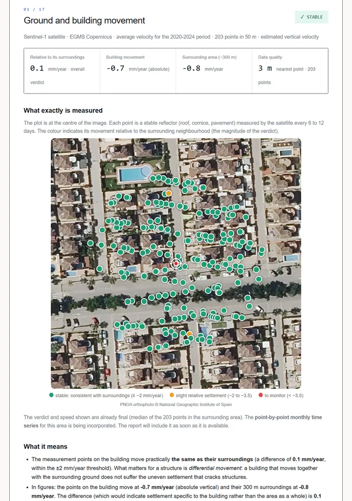
Page 01 of the sample report, Guardamar del Segura: 203 satellite points, verdict stable. Open the full report →
Why this matters more if you are buying from abroad
A local buyer picks up some of this by osmosis. They know the town, they have heard which streets flooded in the past, they can read the cadastre and the energy certificate. Coming from outside, you are relying on the estate agent, the seller and a viewing on a sunny afternoon. None of those will tell you that the plot was farmland until 1998, that the ground is subsiding a few millimetres a year, or that the property sits inside an officially mapped flood zone. All of that is public information in Spain, and it is scattered across half a dozen government bodies, in Spanish.
The 17 checks
each one cites its official source and the period it covers · thumbnails from our sample reports (Guardamar del Segura and Lugo)
 RADAR
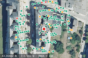
Ground movement around the property, measured by radar from the European Union's Copernicus programme (EGMS), in millimetres per year. This is the one nobody can see on a viewing, and the reason many people find us.
 T500
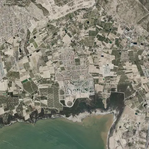
Official flood zones from the Spanish national flood mapping system (SNCZI), for 10, 100 and 500 year return periods, plus the preferential flow zone, with the map cropped over your plot.
 1956
 TODAY
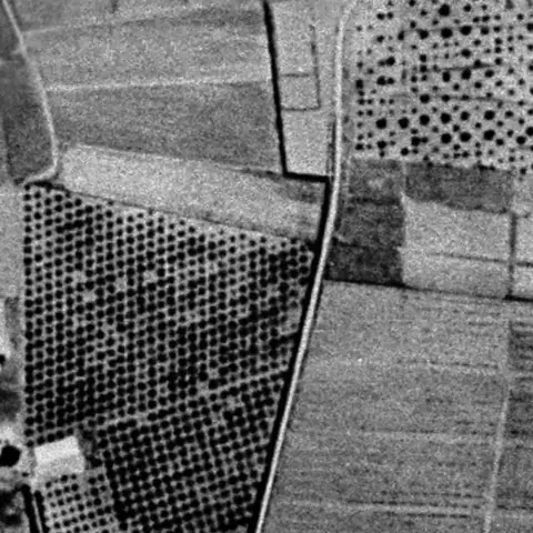
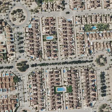
What stood on that plot before, using national aerial photography from 1956 to today. Landfill, diverted watercourses and former industrial use all show up here.
 Bq/m³
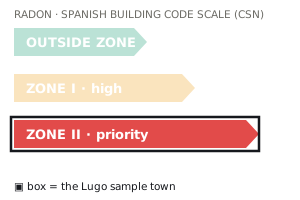
Radon zone for the municipality under the Spanish building code, plus the radon potential at that point from the Nuclear Safety Council's mapping. It is an invisible gas and it can affect what you are allowed to build.
 SUN
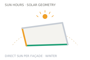
Cadastral record, energy certificate where the regional registry publishes it, real sunlight hours per façade allowing for neighbouring buildings and the surrounding terrain, and the roof's solar potential.
 NOISE
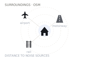
Official noise levels from the strategic noise maps, motorways, railways and airports, seismic hazard, wildfire history, climate, land constraints, planning classification and registered industrial facilities nearby.
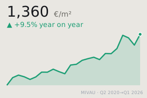 €/m²
Local price per square metre and transaction volumes from the housing ministry, rental reference data, and recorded crime for the municipality.
How we work it out
Official public sources
Copernicus, the National Geographic Institute, the Cadastre, the environment and housing ministries, the Nuclear Safety Council, the met office and the Home Office, plus open mapping (OpenStreetMap) for distances, always labelled as such. No estimates bought from third parties.
Your exact address
Where the source publishes property-level data (satellite, cadastre, flood mapping, sunlight, aerial history) everything is computed for that exact plot. Where the official source is only published per municipality (radon zone, seismic hazard, area prices, recorded crime, fire frequency) the report says so in that section.
Every figure dated
Each section states which source it came from and what period it covers, so you can see how current it is and check it yourself.
Written in plain English
Translated in full from the Spanish original, which we also send you. Where the two differ, the Spanish original is the one that stands.
Price
€39
One property, all 17 checks, delivered as a PDF by email within one working day of payment. Taxes included. You also receive the Spanish original, which is useful if you pass it to your lawyer or surveyor here.
What you need to know before you order
Who you are buying from. Homefax, Jorge A. Torres, tax number NIF X3269927V, Lugar Hermida 2, Eirexalba, 27345 O Incio (Lugo), Spain. You can write to us at info@homefax.es
Total price. €39 for one property, all taxes included. That is the whole amount, with no delivery, handling or currency charges added by us.
When you get it, and when you pay. Nothing is charged when you send the request. We identify the property first, email you to confirm it, and only then send you a payment link. Once you have paid, the report reaches you as a PDF in English, together with the Spanish original, within one working day.
Your right to cancel, and the exception that applies here. As a consumer you have 14 calendar days to withdraw from a distance contract without giving a reason, under Spanish consumer law (Royal Legislative Decree 1/2007). This report is digital content supplied without a material medium, and we begin preparing it as soon as your payment comes in. So by paying you expressly request that we begin straight away, and you acknowledge that once the report has been delivered you lose the right to cancel that normally applies to distance purchases within 14 days. That is article 103.m of the same act. Until the report has been produced the right is still yours, and the email that carries your payment link sets all of this out in English before you pay.
If something goes wrong. Write to info@homefax.es. If we cannot produce or deliver the report, we refund it in full. If our own error put the wrong property in it, we redo it at no cost or refund it. Complaint forms are available on request, and you can also turn to the Spanish consumer arbitration system.
Terms of sale (in Spanish, the version that stands)
The paragraphs above are the pre-contract information Spanish law requires us to give you before you order (article 97 of Royal Legislative Decree 1/2007), summarised in English for your convenience. Our terms of sale, legal notice and privacy policy are published in Spanish only, and the Spanish text is the one that governs the contract. If you are a consumer resident in another EU country, none of this deprives you of the mandatory consumer protections of your own country.
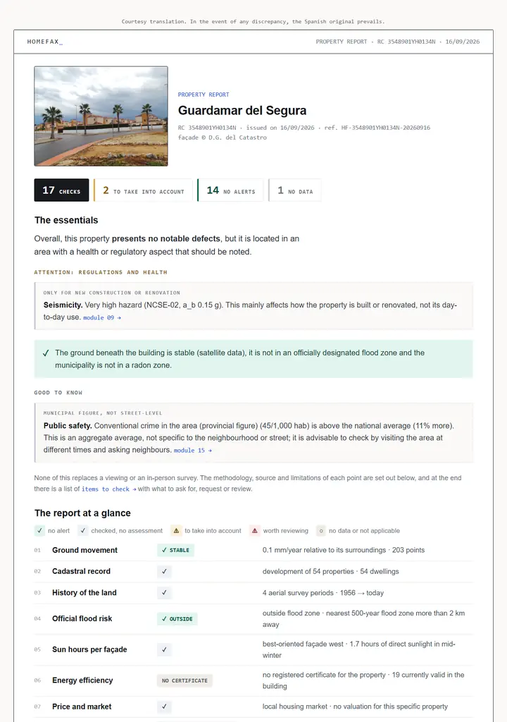
COVER · THE ESSENTIALS
01 · GROUND MOVEMENT
See a full sample report in English → (a real report for a flat in Guardamar del Segura, Alicante, exactly as you would receive it)
How to order
Tell us the address, or the cadastral reference
The address as best you know it is enough. If the listing, the nota simple or an IBI bill shows the cadastral reference (20 characters, labelled Referencia catastral on Spanish documents), paste that instead: it identifies the property exactly. No other Spanish paperwork is needed.
We identify the property
We match it against the Spanish Cadastre ourselves and email you to confirm we found the right one.
You pay by secure link
We send you a Stripe payment link for €39. We never ask for card details by email.
Report in one working day
PDF in English plus the Spanish original, by email.
Questions
Does this replace a survey?
No, and we would not want it to. A surveyor inspects the building in person, its structure, damp, installations and defects. Homefax covers the ground and the surroundings, which a visit cannot assess. The two are complementary, and if you are buying we would get both.
Does it include the Land Registry extract?
No. The nota simple tells you who owns the property and what charges sit on it, such as mortgages or embargoes, and it is obtained from the Land Registry. It is a different document and your lawyer will normally request it. We are looking at offering it alongside the report, but it is not on sale yet.
Which parts of Spain do you cover?
Anywhere covered by the national Cadastre. The Basque Country and Navarre run their own cadastral systems, so there the report is produced from the address and a few checks that depend on the national Cadastre are not available. We will tell you before you pay if that affects your property.
Can I get it in German, French or Dutch?
German, yes: since September 2026 the report can be delivered in German, together with the Spanish original, at the same price. Choose it in the "report language" box of the form, or order from the German page, homefax.es/de. French and Dutch, not yet: we would rather say so than promise a translation we cannot deliver well.
How accurate is the ground movement figure?
It comes from the European Ground Motion Service, which measures reflectors, meaning fixed surfaces such as roofs and structures, from satellite radar. Where there are few reflectors near a property, the report says so rather than presenting a reading it cannot support.